Description
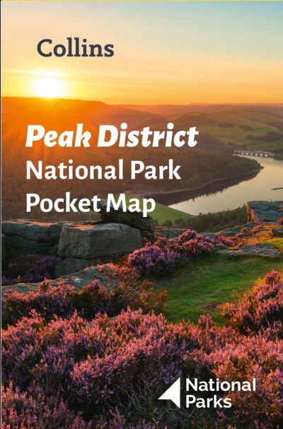
Handy little full colour map and guide of Peak District National Park. Detailed mapping and visitor information to the National Park along with a selection of photographs. Map at a scale of 1:120 000 (1cm to 1.20km, 1.9 miles to 1 inch).This small map with additional text and photographs gives a great overview of the Peak District National Park, and is the perfect companion for exploring this beautiful area of England.Clear, detailed mappingKey park, tourist and travel informationIdeal for planning visits to the National ParkIndex to help locate and plan your tripInformation on the Pennine Way, Stanage-North Lees, caving activities and other places of interestDiscover more about the walking routes at this National Park with the Peak District Park Rangers Favourite Walks (ISBN: 9780008439125).


Reviews
There are no reviews yet.